Utility mapping and GPR surveys: locating underground services
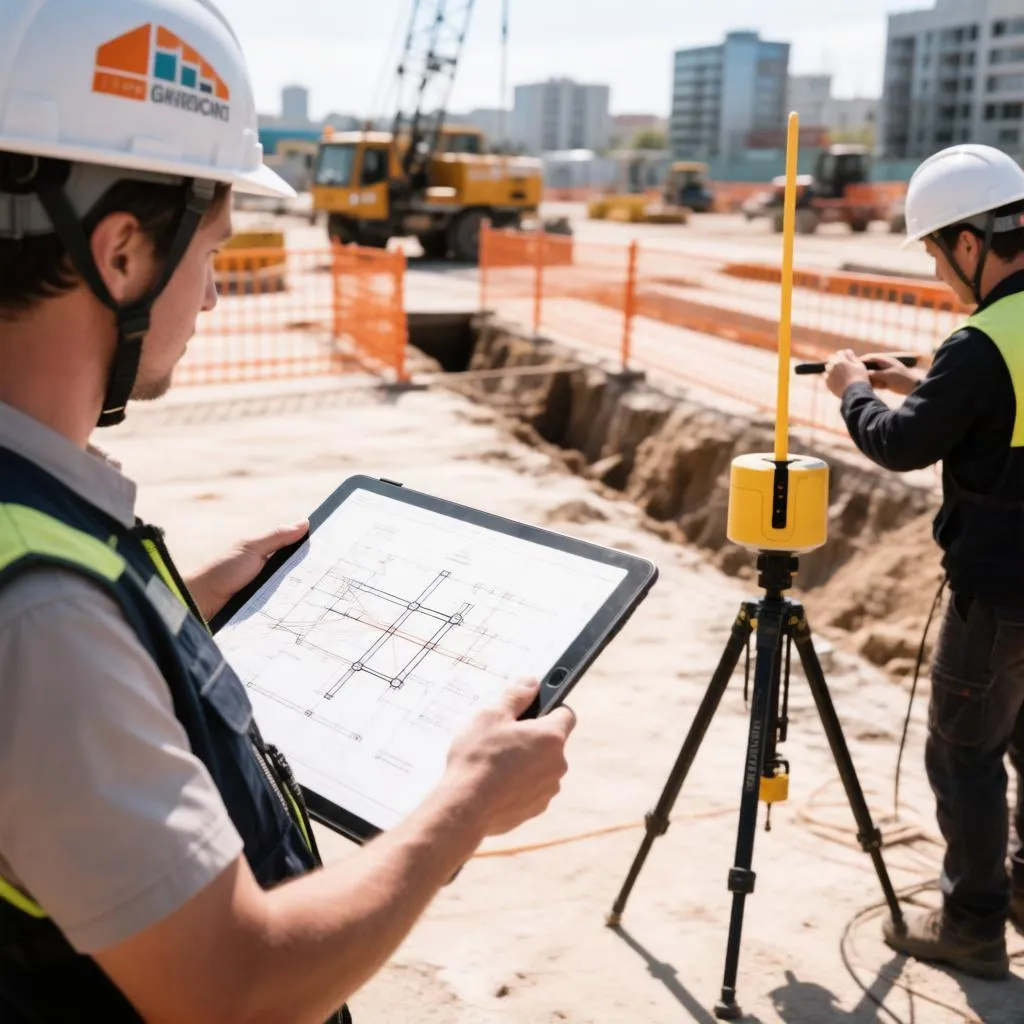
Every excavation in the UK begins with a question that no one can answer by looking at the ground: what lies beneath it? Water mains, gas pipes, electricity cables, telecoms ducts and abandoned assets criss-cross beneath streets, gardens and construction sites, and the consequences of striking one range from a delayed programme to a fatality. Utility mapping and ground penetrating radar surveys exist to answer that question before the excavator arrives. Yet the surveying industry’s terminology — PAS 128, GPR, EML, DGPS — leaves many clients unsure what they are actually buying, and a survey’s quality varies enormously depending on how it is commissioned. This guide explains how underground utilities are detected, what each survey technique contributes, how survey quality is classified, and how to commission work that genuinely protects a project.
Why underground surveys exist and what they prevent
The statistics behind utility strikes make uncomfortable reading. Service strikes cause injuries and fatalities every year on UK sites, trigger costly project delays, generate utility repair charges that dwarf survey costs, and expose contractors to prosecution under health and safety law. A single severed electricity cable can halt a site for days; a gas main strike can require evacuation of an entire street. Against these consequences, a competent utility survey costs a fraction of a single day’s delay.
Strikes occur for predictable reasons, and the pattern of failure is remarkably consistent.
- Relying on utility records alone. Statutory operator drawings are frequently inaccurate, incomplete or decades out of date, and treating them as definitive rather than indicative is the most common root cause of strikes.
- Assuming the survey found everything. No survey technique detects every buried asset, and teams that interpret a clean survey result as proof that nothing lies beneath are misreading what the technology can do.
- Excavating near marked utilities without safe digging practice. Even accurately mapped services require trial holes and hand digging in their vicinity; machine excavation straight through a marked line remains a recurring incident type.
- Skipping the survey on small works. Gardening-scale excavations, fencing jobs and drainage repairs strike services regularly precisely because nobody believes the risk applies at that scale.
The purpose of professional utility mapping is to convert unknown risk into known, mapped, manageable information — and to make clear where the limits of that knowledge still lie.
How the detection technologies work
Underground utilities are located through several complementary techniques, each detecting a different physical property and each with blind spots. Professional surveying layers them rather than relying on any single method.
Electromagnetic location (EML) is the traditional and still most widely used method. The locator detects electromagnetic fields radiating from metallic pipes and live cables, and it can also induce a signal onto conductive utilities using a transmitter. It is fast, accurate for depth estimation on metallic assets and live power cables, and effective at tracing pipe routes along their length. Its limitation is fundamental: it cannot detect non-metallic services — plastic water pipes, plastic gas mains, fibre optic ducts — unless those ducts contain a traceable element such as a metallic messenger wire or tracer wire.
Ground penetrating radar (GPR) works on an entirely different principle. An antenna emits high-frequency radio waves into the ground and records the reflections from changes in material properties. Buried services, even plastic ones, create reflections because their material differs from the surrounding soil. GPR detects what EML cannot: non-metallic pipes, ducts, voids, foundations, tanks and archaeological features. Its limitations are equally fundamental — performance degrades sharply in wet clay soils that attenuate the radar signal, depth estimation is affected by soil moisture and the assumed signal velocity, and interpretation requires skilled operators because raw GPR data is famously ambiguous to the untrained eye.
Supporting methods complete the picture. Radio frequency detection picks up signals radiating from live telecoms and power cables without any transmitter. Vibrating plumb and magnetic locators find covers and access chambers. And for the highest confidence on critical services, vacuum excavation — soft digging with high-pressure air or water — exposes the utility without damaging it, providing direct visual confirmation of position and depth.
PAS 128: how survey quality is classified
The UK surveying industry grades underground utility surveys through PAS 128, the publicly available specification for the detection, verification and allocation of utilities. Rather than accepting vague claims that a site was “scanned,” PAS 128 assigns each detected utility to a survey category that defines how its position was established — and that grade determines how confidently the survey can be relied upon in design and construction.
| Survey category | How position is established | Typical confidence | Notes |
|---|---|---|---|
| D | Desktop study of utility records only | Indicative only | Records only; no site survey performed |
| C | Site reconnaissance, observation of surface features | Low | Covers, cabinets and surface evidence correlated with records |
| B2 | Geophysical detection, unverified position | Moderate | Detected by EML or GPR without exposure |
| B1 | Geophysical detection with depth data | Moderate to good | Position and depth measured by instrument |
| A | Direct observation, verified by exposure | Highest | Physically exposed by vacuum excavation or trial hole |
The categories reveal the essential truth of the discipline: a survey’s value scales with verification. Category A data — a pipe physically exposed and measured — is definitive. Category B data is a detection with an error margin that must be respected in design, typically by positioning structures clear of detected lines or by verifying the detection before excavation. Surveys that mix categories, with some utilities verified and others detected, present their findings in a way that lets designers treat each asset appropriately rather than applying a blanket margin.
What a professional survey delivers
Commissioning clients frequently expect a marked-up plan, when the real deliverable is a structured dataset with defined limitations. Understanding what arrives with the survey separates useful purchases from decorative ones. A complete survey package includes the following.
- A survey-grade drawing or CAD file showing utility positions, categorized per PAS 128, overlaid on a topographic base.
- Depth information for detected assets where instrumentation allows, with the method of depth estimation recorded.
- A descriptive report covering the techniques used, the survey categories achieved, limitations encountered and recommendations for further investigation.
- Utility record interpretation, reconciling operator drawings against what was actually detected on site.
- Photographic evidence for verified assets, including exposed services and survey set-up where relevant.
- A clear limitations statement stating what the survey cannot have detected — buried assets invisible to the techniques used, areas obstructed by site conditions, and the confidence bounds on depth values.
That last item deserves particular attention. The limitations statement is not boilerplate; it is the honest boundary of the survey’s knowledge, and project teams who read it plan their excavation practice around it. Teams who ignore it treat the survey as omniscient — which is precisely how strikes happen on surveyed sites.
Commissioning a survey that actually protects the project
Survey quality is determined more by the commissioning decisions than by the technology, because the same GPR instrument in the hands of different surveyors produces dramatically different results. The decisions that matter most are these.
- Define the survey level per PAS 128. Stating the required survey category — for instance B1 across the site with A on the critical services crossing the excavation footprint — aligns the scope with the risk and prevents both under-survey and paying for verification where it adds nothing.
- Choose surveyors by method, not by price alone. A low-cost survey may mean EML only, which misses every non-metallic service. A commissioning brief should specify the techniques required for the site’s known and suspected assets.
- Match the survey to soil conditions. Sites with wet clay, made ground or heavy reinforcement reduce GPR effectiveness, and the surveyor should be told about ground conditions so they can adjust methods and expectations honestly.
- Schedule the survey early. Utility data influences foundation design, drainage levels, piling positions and access routes — decisions that become expensive to change once drawings are frozen. Early surveys feed the design; late surveys merely confirm what cannot be altered.
- Request re-survey where site conditions change. Stockpiled material, standing water and temporary surfaces all degrade detection quality, and areas of a site that were covered at the wrong moment may need repeating after conditions improve.
- Never let the survey replace safe digging. However good the survey, excavation near detected services still follows safe dig practice: trial holes, hand digging within defined tolerances and permit-to-dig controls. The survey informs the practice; it does not replace it.
The last point is where good projects distinguish themselves. Surveys, records, locators and safe digging practice form a chain, and each link reduces the residual risk that the others leave behind. Skipping any link concentrates risk on the remaining ones — and the excavator operator is always the person holding the shortest end.
What the survey cannot tell you
Honesty about limitations is what separates professional surveying from wishful thinking, and every technique carries detectable blind spots. Non-metallic utilities without tracer wires are invisible to EML. Deep services beyond radar penetration, or those under reinforced ground, escape GPR. Services buried beneath other services may only be detectable when the shallow one is exposed. Ducts and voids are detectable but not identifiable — a radar reflection proves something is there, not what it is. And depth readings from GPR carry material uncertainty in variable soils, which is why PAS 128 treats depth as estimated rather than measured unless the asset is directly observed.
This is why the strongest survey strategy combines records, geophysics and verification in proportion to consequence. A garden drainage run may justify records and a careful hand dig alone. A piling operation beside a high-pressure gas main justifies the highest survey category available, targeted vacuum excavation on the critical crossings, and supervision protocols regardless of what the instruments report.
Knowledge before the excavator arrives
Utility mapping exists to replace uncertainty with information, and its value is measured in strikes that did not happen, programmes that did not stall and excavator operators who went home uninjured. The discipline rewards clients who understand what they are buying: a layered survey combining record research, electromagnetic detection, ground penetrating radar and targeted verification, graded honestly under PAS 128 and accompanied by a limitations statement that the project team actually reads. No survey makes the ground fully transparent — but the difference between a project that treats its survey as a formality and one that treats it as a control is the difference between discovering a 400 amp cable with a locator and discovering it with an excavator bucket. The ground never forgives assumptions; the survey exists so that none are needed.